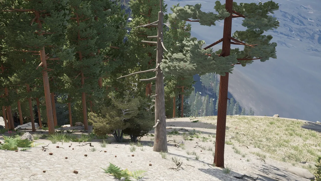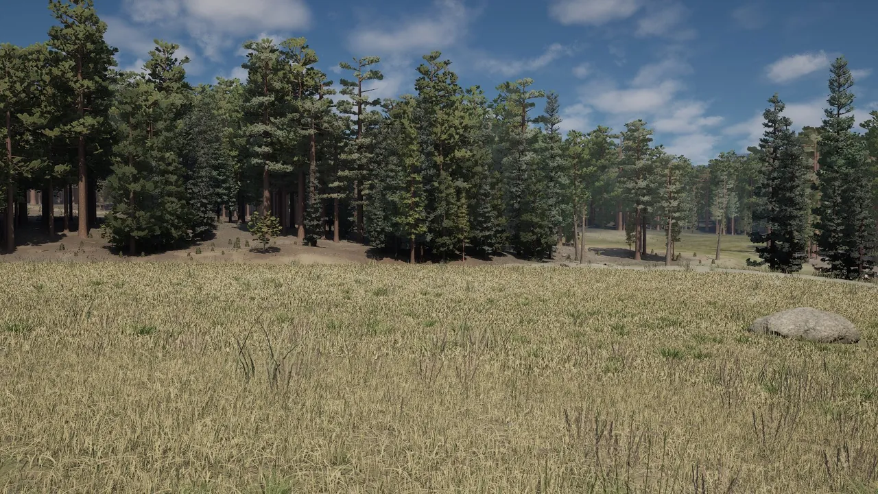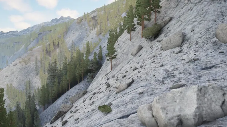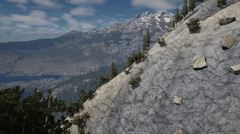
The rock of the high country now follows the real Sierra Nevada. The mountain core is granite, and dark metamorphic rock sits in it as long, narrow bodies a few km to about 28 km long, running north-north-west, the way the Ritter Range does. Any world lands at about 10 to 15 percent dark rock. Before, the rock map was big random patches and the high ground was mostly dark. A dark tint meant for those peaks had also spread onto granite beside them, so a granite knob over a lake came out dark gray-green. Those knobs are light again.
The dark peaks read as dark gray rock with snow patches, their rubble darkened and patched with gray-green and rust lichen. Summits above about 3,200 m take their forms from laser surveys of the Ritter Range, the Minarets and the Cathedral Range, with sharper ridges.
The same knobs lost their fake creeks. Roughly every 80 m a creek ran straight down each bare face, because every creek started at a fixed point whether or not any ground above could feed it. A creek now stays dry down a steep slope near its start and becomes water where the ground eases.
Still wrong: the summits read bumpy more than knife-edged. Where the old map had volcanic rock in the high country its cinder cones are gone, so that ground changed shape. New worlds only.