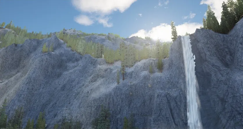
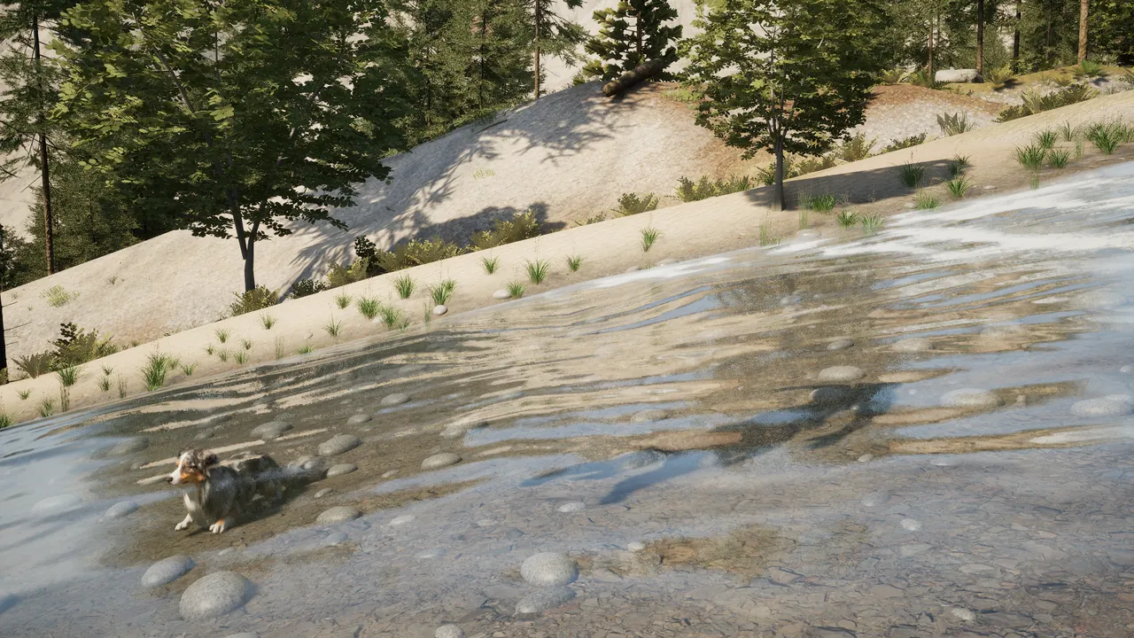
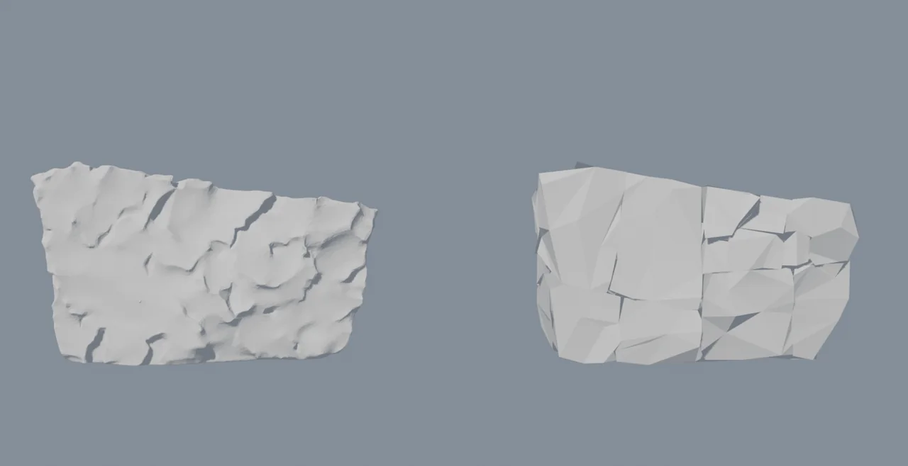
In October a story here ended with mountain rivers cut downhill into their own beds and one loose end: creeks still stepped at their edges. In November water was caught climbing twice more, first by 2 m and then by 57 m. Each time the first sign was a mark on the surface that looked like a drawing fault.
Early on November 5 a playtest stopped at a creek below the start. Three marks on its water were followed up: pale dashes in the white water, a row of shadow teeth along one bank, and a straight line across the stream. The dashes were arithmetic. The coordinates that place the foam pattern reached the graphics card rounded to a 0.5 to 1 m grid, so the creek’s small triangles drew the foam picture as striped slices. The dashes went late that day. So did the teeth, with a 4 m zigzag in the waterline, when the banks were redrawn as smooth slopes of soil and gravel.
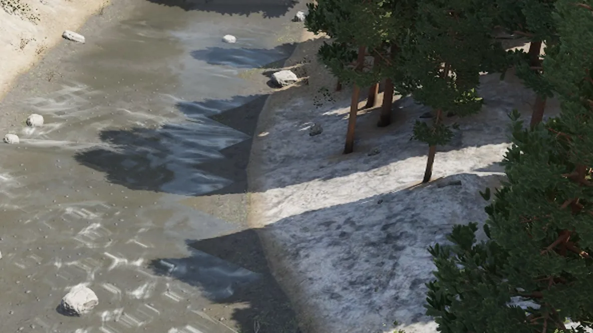
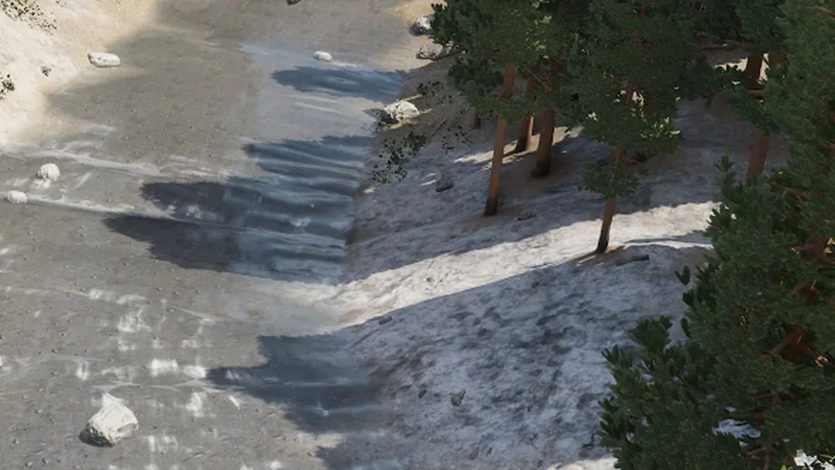
The line mattered more. Early on November 6 it was traced to the shape of the water, not its shading: just above a waterfall the creek’s surface climbed 2 m over a rock sill before the lip, and the line was the fold. A few hours later creeks were cut all the way to the brink.
The same creek gave up one more straight line that day, a long dark diagonal that proved to be the surface folding wherever the bed under it stepped. Bending the surface into one smooth sheet removed the diagonal and streaked the near water white: the smoothing had thinned the water the flow carries, so the whole near reach read as white water. About an hour and a half later the white water came from the real flow again, and the sheet stayed smooth.
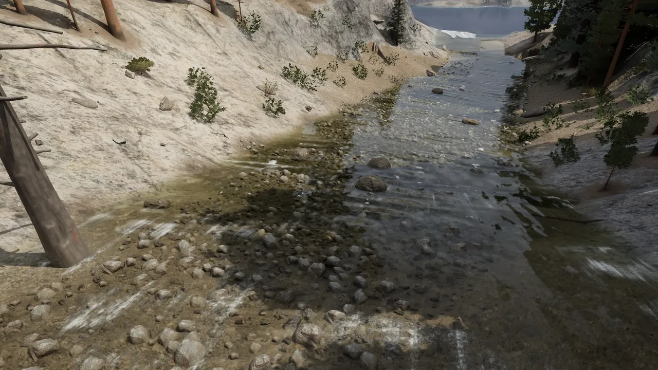
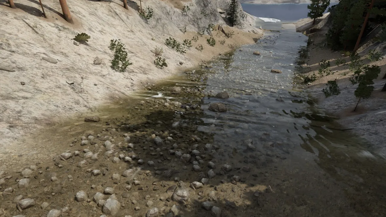
The river was the same kind of fault at a larger size. A playtest found one standing as a raised dark slab with a vertical wall of water 6.6 m high, marked with black sawtooth triangles. Early on November 14 the cause was written down. The planned route climbed a 57 m rise there, and the step that works out water levels had solved the climb the only way water can make one: as a reservoir 6.9 m over its bed, which overtopped and fell to a draft of 0.6 m. The triangles were reflections on a nearly vertical sheet of water.
The first fix capped the level: water on a climbing reach stands no higher than its planned depth over the sill. That removed the wall and left the river climbing at normal depth. The deeper cause was in how a route is chosen. It advanced in 1 km steps and judged each only by where it ended. In a closed hollow every way out climbs, so the route took the lowest point within reach, over the ridge: one 700 m step crossed ground 56 m above its start. A rule that a step’s whole line must descend was tried and changed nothing. From the bottom of a pit, no line descends.
A few hours later routes began to behave like water in a pit. A step is taken only if its whole line descends, read every 62.5 m; failing that, the route tries 500 m and then 250 m. If none works, the hollow is filled, the route leaves over its lowest saddle, and the hollow is drawn as a lake. A hollow deeper than 40 m, or a very large one, still ends its river in a lake, as before. At the playtest spot the route now ends in the deep bowl beside it, and the bowl is a lake.
Measured over 50 sampled worlds, the worst climb of a drawn water surface fell from 247.6 to 9.6 m, and routes climbing more than 20 m went from 74 to none. The map changed with it: 71.9 km of routed river per world against 44.4, and 463 lakes added across the sample. Routing takes about 1.4 times as long.
Worst climb of a drawn water surface, over 50 sampled worlds
- Before247.6 m
- After9.6 m
Routes climbing more than 20 m
- Before74
- Afternone
Routed river per world
- Before44.4 km
- After71.9 km
None of it has been seen in a game frame yet. The proof is measurement outside the game, and 20 of the 50 sampled worlds still have one route with a bump of 2 to 10 m. A lake can have a river running in and no visible way out. At the last look, on November 6, the creek where this started still had a straight hard waterline under its right bank.